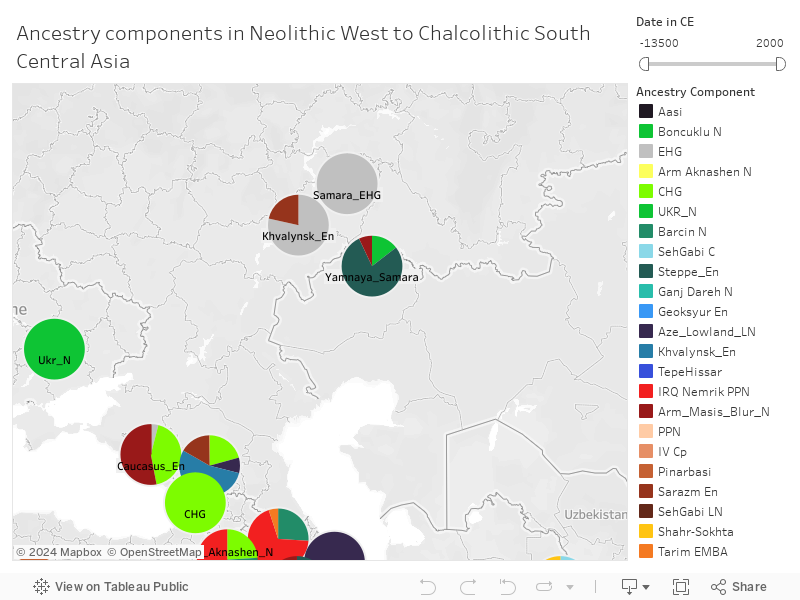
All the relevant populations from the early neolithic to chalcolithic are represented here. Most up to date map of population movements in the neolithic age, including the latest neolithic samples from Lazaridis et al 2022. All results have been arrived at using rigorous qpAdm rotating models.
If alternate model exists, I have noted them and will be visible once you hover on a label.
To pan the map, click the play button on the map and then and select the + button or Cross which enables the Pan cursor. Map can then be panned in all 4 directions. Pinch in/out to zoom. There is also a date filter.
Latitude/longitude of some labels might not be accurate. Co-ordinates of some labels have been shifted a bit so that there is less overlap between labels close to each other in location (eg. Seh_Gabi_LN, Seh_Gabi_C, Ganj_Dareh, Hajji_Firuz cluster; Arm_Masis_N, Arm_Aknashen, Aze_Lowlands cluster; Geoksyur & Gonur cluster; Boncuklu & Pinarbasi)